Last cyclone season, a developer in Parap called us panicked because their structural design assumed a generic Site Class B for a block near the Stuart Highway, but the borelogs showed deep paleochannel clays. Darwin’s subsurface is deceptive—what looks like competent ground from the surface often sits atop deeply weathered Cretaceous shale or unconsolidated Holocene sediments that amplify seismic waves. We ran a multi-channel analysis of surface waves (MASW) array across the site and mapped the VS30 at 210 m/s, squarely in Site Class D. The structural team had to recalculate base shear, but they dodged a significant under-design risk. For any project in the Darwin region, a site-specific shear wave velocity survey isn’t a regulatory checkbox; it’s how you align your foundation load paths with the actual dynamic stiffness of the ground beneath. We often combine this with in-situ permeability testing when sites are near the bay where groundwater tables fluctuate with tidal influence.
In Darwin's paleochannel clays, a generic Site Class B assumption can miss a real VS30 of 210 m/s and underestimate base shear by 40%.
Technical details of the service in Darwin
Risks and considerations in Darwin
Darwin sits in a region of moderate seismicity with a design PGA around 0.09g for a 500-year return period, but the loose alluvial and estuarine deposits in suburbs like Nightcliff and Coconut Grove can amplify ground motion by a factor of two or more. The main risk is misclassification of the site class. We've seen structural engineers apply Site Class C to a profile that actually has a VS30 below 150 m/s in the top 30 metres, which lands it in Site Class E. That's not a minor tweak to the reinforcement schedule—it changes the entire seismic design category and can trigger liquefaction assessment requirements under AS 1726. A proper MASW survey maps the stiffness profile continuously, identifying soft lenses and stiff layers without the spatial aliasing inherent in borehole-only methods. When the site is underlain by Darwin Formation mudstone at variable depths, the velocity contrast between the overlying sands and the bedrock creates a resonance risk that only a VS30 measurement can quantify accurately.
Our services
Beyond the standard MASW survey, we offer a suite of complementary services tailored to Darwin's tropical lateritic terrain and coastal sediment profiles. Each service is designed to meet the requirements of AS 1726 and provide the data needed for a solid seismic design.
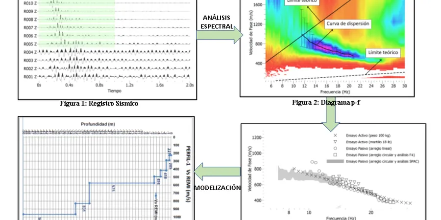
MASW / VS30 Survey
Active-source 24-channel MASW survey with f-k dispersion analysis. Delivers a 1D shear wave velocity profile, VS30 calculation, and NEHRP/AS 1170.4 site classification for structural design.
Seismic Refraction Tomography
Complementary P-wave refraction survey to map the depth to bedrock and identify velocity layering above the Darwin Formation mudstone. Provides a 2D cross-section of compressional wave velocities.
Downhole Seismic Testing
Crosshole or downhole survey in existing boreholes for vertical VS profiling. Ideal when surface access is limited and you need a direct travel-time measurement at discrete depth intervals.
Site-Specific Response Spectra
One-dimensional equivalent-linear site response analysis using DEEPSOIL or SHAKE, incorporating the measured VS profile and modulus reduction curves to generate a project-specific acceleration response spectrum.
Frequently asked questions
How much does a MASW / VS30 survey cost in Darwin?
For a typical residential or light commercial site in the Darwin area, a MASW survey with VS30 determination ranges from AU$2.800 to AU$5.020, depending on the array length, the number of spreads required, and the accessibility of the site. Larger projects with multiple arrays or complex topography will be on the higher end. We provide a fixed-price proposal after reviewing the site location and project specifications.
Why can't I just use borehole SPT data to estimate VS30?
SPT-based correlations for shear wave velocity carry significant uncertainty, especially in Darwin's lateritic profiles and paleochannel clays where the stratigraphy changes laterally over short distances. Correlations like Imai & Tonouchi assume uniform soil behaviour that doesn't hold in these conditions. A MASW survey measures the shear wave velocity directly and continuously, catching soft layers that a split-spoon sample might miss or smear. The result is a measured VS30, not an estimated one, and that matters for the structural design base shear.
How long does a MASW survey take on site?
A standard single-array MASW survey with 24 geophones takes about 2 to 3 hours on site, including setup, multiple source impacts for stacking, and breakdown. If the site requires multiple arrays to cover a larger area or to align with different foundation zones, the fieldwork extends proportionally. We can typically deliver the processed VS profile and VS30 report within 3 to 5 working days after the survey.